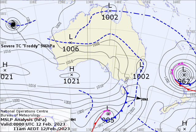
⚠️Tropical Cyclone outlook for the Gulf of Carpentaria upgraded to moderate (20 – 50%) chance of a TC on Tue. A weak low is being monitored in the NW Gulf. Majority of impacts will occur in NT, but heavy rain, large tides possible in Gulf Country. https://t.co/XP52fHVaUz pic.twitter.com/MbBKnZ4mWw
— Bureau of Meteorology, Queensland (@BOM_Qld) February 12, 2023
Senior meteorologist Harry Clark has said that a low in Gulf Country has a 20 to 50 per cent chance of developing into a cyclone.
“At this stage it looks like it will affect areas further west, so mainly over the Northern Territory side of the border in the Gulf Country, [it’s] certainly another tropical system to keep an eye on in what’s been a busy few weeks.”
The potential storm is of significant concern as the region has already experienced a strong wet season, greatly increasing the risk of flooding with more rainfall.
“Even as a low, we are expecting it to have a pretty big influence in terms of rainfall over the Gulf. Basically, anywhere north of Mount Isa can expect a good deal of rain over the coming days,” said Bureau meteorologist Livio Regano.
“Come Thursday, we’re looking at the first chance of showers and, from Friday onwards, it will get pretty wet.”
According to the Coordinator for the northern region’s District Disaster Management Group (DDMG), Elliott Dunn, gulf residents were preparing for the potential floods.
“At the moment, the main concern is the additional rain.
“Most of the Gulf is already cut off with several towns completely isolated and if we do see more rainfall, further towns will be cut off.”
“The DDMG will be liaising with local councils this week about whether more supplies need to be flown in ahead of more rain.”
The potential Queensland cyclone isn’t the only wild weather facing the state this week. In the south-east, there are potential thunderstorms north of Brisbane and flash flooding south of the city have been forecast for today.
#Qld #Thunderstorm forecast for today: Severe thunderstorms likely about the western Peninsula, with the main hazard heavy rainfall. Severe storms possible in the southern Capricornia and Wide Bay & Burnett, with a risk of damaging winds. Keep an eye out for warnings. pic.twitter.com/bqFTuICZkp
— Bureau of Meteorology, Queensland (@BOM_Qld) February 12, 2023
“On Tuesday, we do have potential for severe thunderstorms through south-eastern Queensland. With that we do once again see the risk of flash flooding,” said Clark.
“If we do get pockets of heavy rainfall associated with that, [we] couldn’t rule out some damaging winds and large hail with that as well.”


