A project led by Charles Darwin University’s and the Anindilyakwa Land and Sea Rangers began surveys of the coastline last year.
The mission was to map the distribution of ghost nets that washed ashore in the Anindilyakwa Indigenous Protected Area (IPA), which covers nearly 1000 km of NT coastline, the university says.
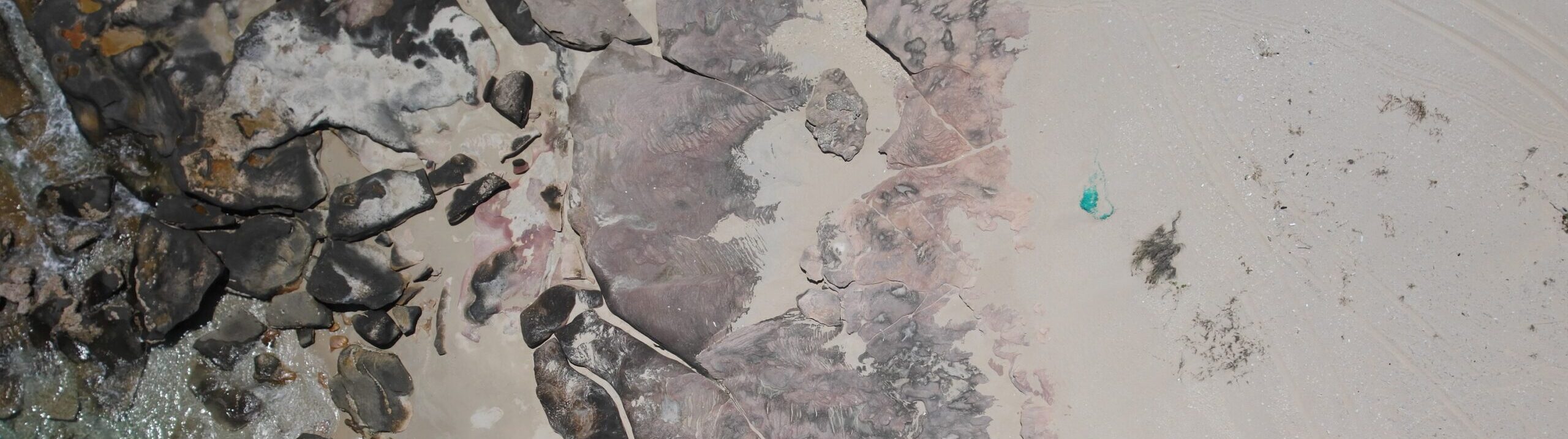
So far, 83.74 km of remote coastline was surveyed and 72 nets, from 5cm fragments to 5 metres large, were found.
Ranger Manager Kirsten Eden says helicopters are normally used to monitor ghost nets but it is an expensive approach often restricted by the wet season.
“With CDU, we’ve successfully used drones to map the most affected beaches within the IPA, enabling more efficient planning, targeted net removal, and improved marine debris assessments using up-to-date data,” Eden says.
The project is funded by the federal government through Parks Australia.
To support on-ground efforts, the rangers use a purpose-built vessel, the Jarrangwa, to visit remote locations to collect the nets.
Some ghost nets are partially buried and barely visible from the ground; since they are much larger beneath the surface, a winch or a team of up to five people are needed to extract the nets.
BENEFITS BEING FELT
University PhD candidate Aliesha Hvala says drones are of strategic and efficient benefit in surveying Northern Australia.
“Drones offer a user-controlled aerial monitoring solution, particularly suited to northern Australia, where survey efforts are often limited by accessibility and seasonality,” Hvala said.
Anindilyakwa Land and Sea Ranger Benjamin McArdle says the high-tech approach is useful.
“High-resolution images combined with precise GPS co-ordinates of ghost nets has greatly improved the efficiency of trip planning,” McArdle says.
“It allows the team to map out routes and identify suitable beach access points before leaving the boat ramp.”