El Nino is on the cards to return this winter with the US and Japan authorities join Australia in warning it is coming back.
Bureau of Meteorology (BoM) long-term forecasts for July-September shows below-average rainfall is expected for southern Australia with above-average temperatures for most of the country.
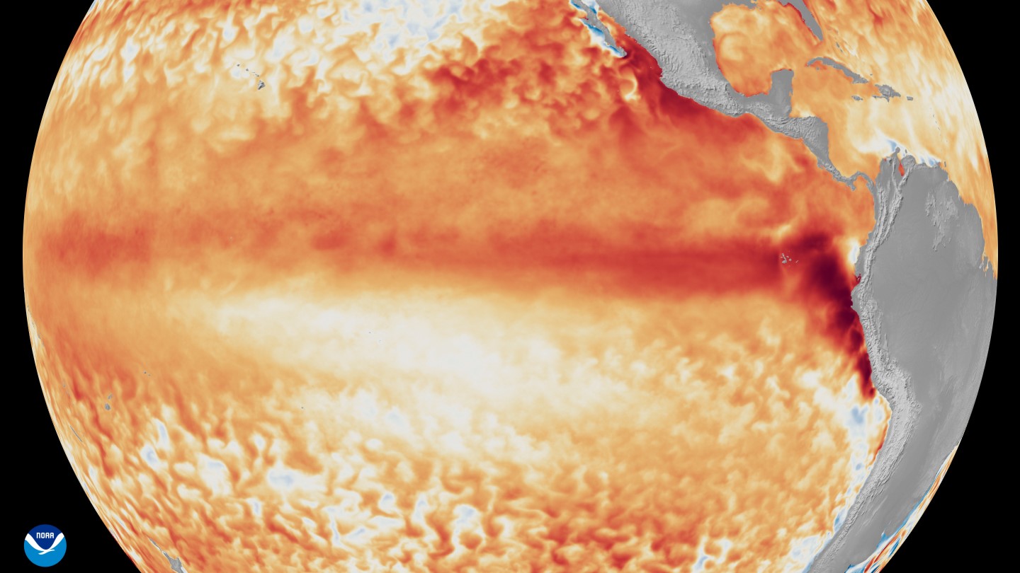
“Sea surface temperatures for July to September are forecast to be warmer than average across much of the globe, including around most of Australia,” the BoM forecast says: click here for the video of the forecast.
“The tropical Pacific is edging closer to El Nino levels with some early signs that the atmosphere is responding to the warmer sea surface temperatures.”
The bureau says its July-September forecast shows that below-average rainfall is likely to impact the tropical north with low totals even with rainfall likely to be above average in some parts.
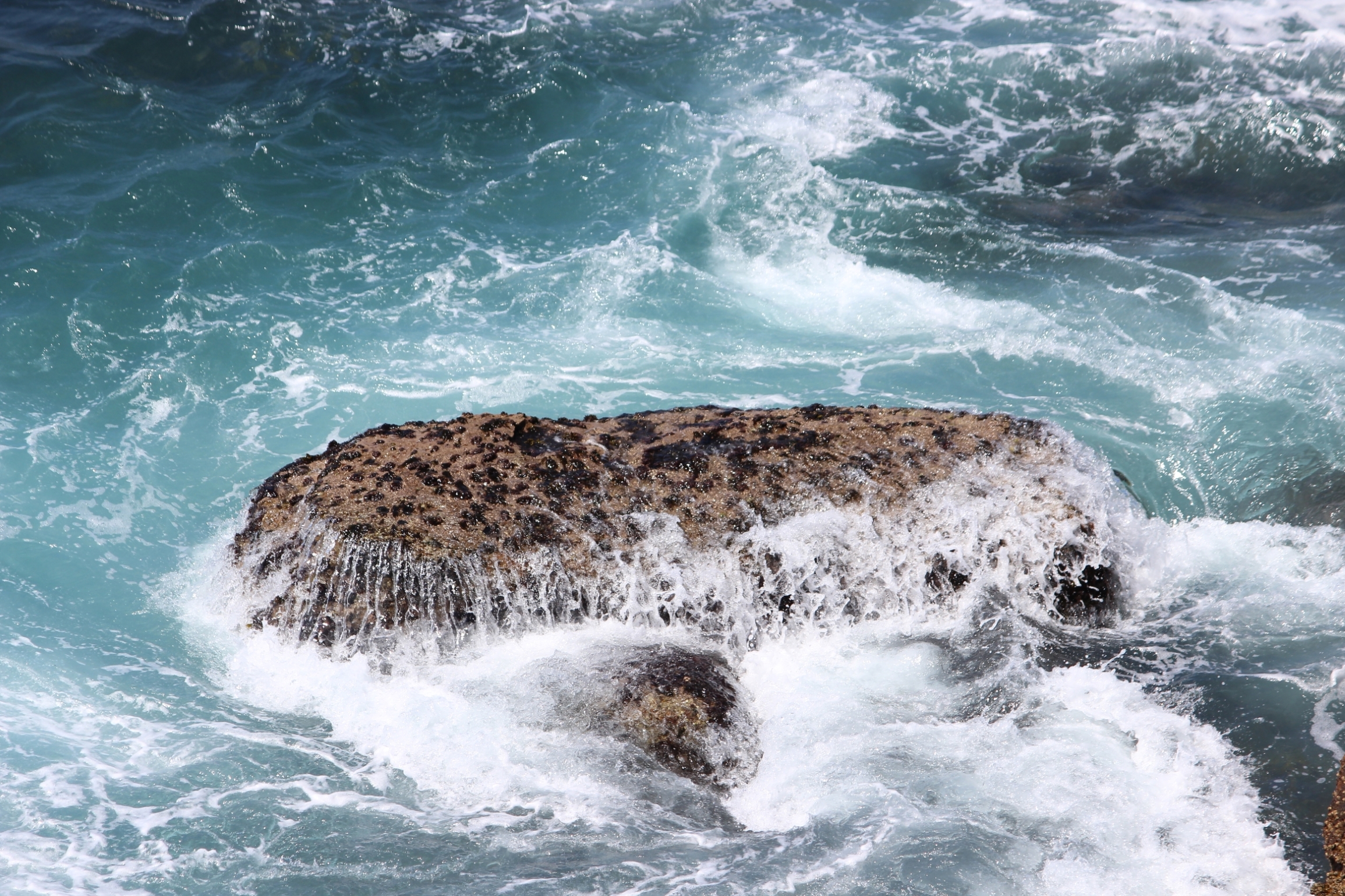
WHAT IS EL NINO? It is is the name given to the warm phase of the El-Nino Southern Oscillation (ENSO) which drives warm and cool waters in the central and eastern Pacific around the equator. It forms when temperatures in this region are 0.5°C warmer for at least five consecutive, overlapping quarters (three-month periods).
Climate records of El Nino go back millions of years with evidence of the cycle found in ice cores, deep sea muds, coral, caves and tree rings. In the 1600s, Peruvian fishermen off the coast of South America recognised the phenomenon when changing ocean currents caused a drastic drop in their catch. They named it El Nino (or ‘Little Boy’) in Spanish since it typically occurred around Christmas. Sources: BoM/NOAA
EL NINO IS HERE, SAYS JAPAN, US
The El Nino forming in the tropical Pacific is expected to intensify this spring (Southern Hemisphere season) prompting an advisory from the US National Weather Service (NWS).
And Japan’s Meteorological Association (JMA) also declared it is officially under way.
American forecasters say there is a 63% chance of sea surface temperatures rising by more than 2 degrees Celsius in a monitored region of the Pacific.
The NWS is run by the National Oceanic and Atmospheric Administration (NOAA), which the US Government has tried to shut down.
“Every El Nino is not the same; each one is unique with its own imprint on our weather,” says Ken Graham, the NWS director.
“Advanced monitoring and an improved understanding of El Nino patterns allow the NWS to better predict and better prepare the public and our core partners for what is to come.”
(The US Government recently announced it will dismantle a A$519 million deep ocean monitoring network of 900 instruments; click here to read more about that).
NOAA says El Nino tends to be strongest during the northern hemisphere winter and that the usual impacts of El Nino can include:
- Stronger upper-level winds that stop storms and hurricane from forming in the Atlantic Basin while weaker winds tend to feed their growth in the eastern and central Pacific basins.
- Changes in the migration of fish and other marine life; warm water species will move north while colder water species move farther north or into deeper waters. These behavioural changes will affect their growth, survival and reproduction.
NOAA says former events have also boosted the growth of harmful algal blooms along the US west coast.
MORE WEATHER NEWS: Wheat growers bear brunt of inter crop shortfall