“On almost every measure, growth, jobs, debt levels, fatality rates, vaccine rates, Australia’s recovery is leading the advanced world,” the PM said at the campaign launch. Source: Wikimedia Commons.
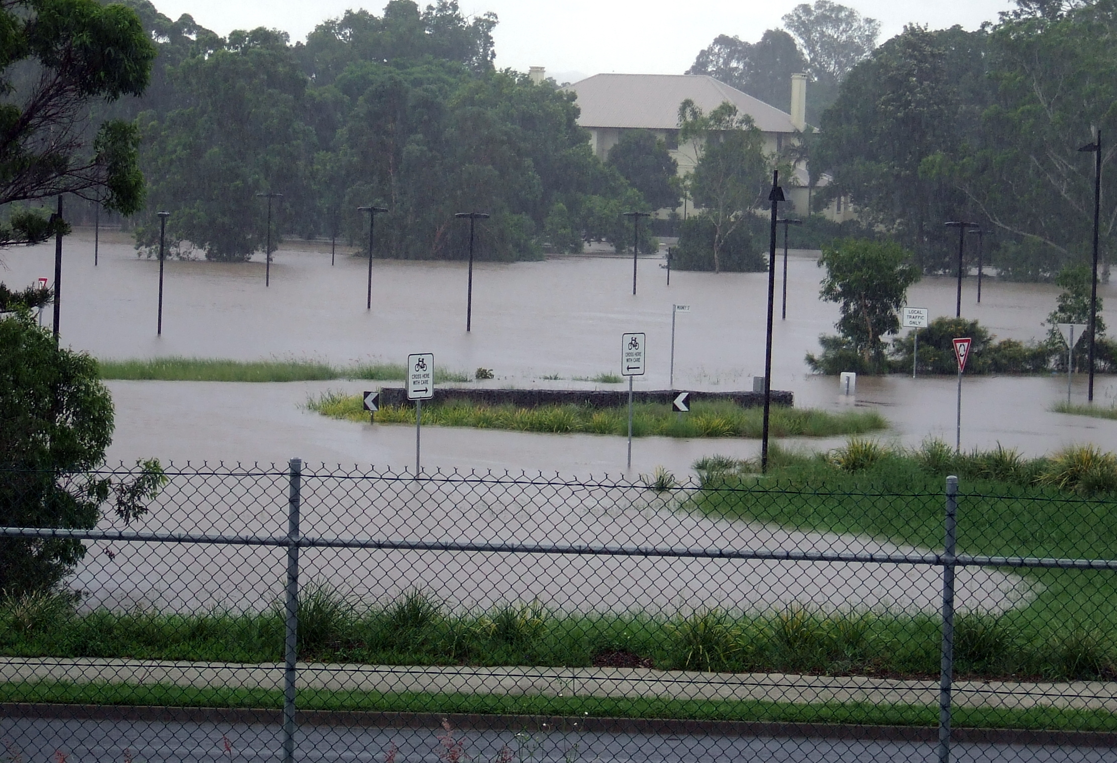
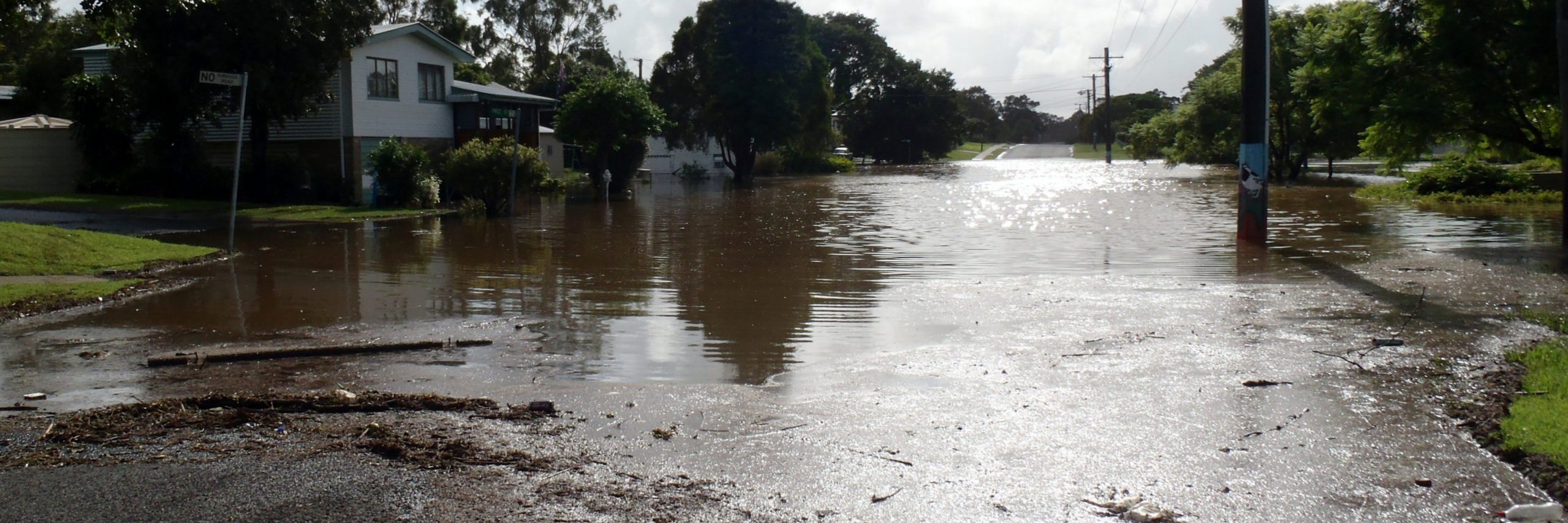
Australia’s Bureau of Meteorology had declared a La Niña is officially underway and raising flood risks for much of the country.
Since March, meteorological models have been indicating there was a real prospect of a third La Nina event in as many years.
“Tropical Pacific sea surface temperatures have been cooling since June and are now at La Nina thresholds,” BOM said.
“Models indicate this La Nina event may peak during the spring and return to neutral conditions early in 2023.”
It will increase the chances of an above-average level of rain for northern and eastern Australia during this spring and summer.
Modern records began in 1900 and the number of triple La Ninas differs based on the criteria you used.
There is not much historical precedent for it as three La Nina’s in a row is relatively rare.
Some agencies list 1954-57, 1973-76 and 1998-2001 as previous La Nina three peats.

During a La Nina, the atmospheric circulation across the tropical Pacific cause warm waters to Australia’s north-east and strong trade winds to pump moisture into the atmosphere along the east coast.
BOM for now has not projected this La Nina will be an intense one, but the predicted above-average rainfall is still not good news especially for regions that have been hit with flooding in the last two years and have still not fully recovered.
All the of the last triple La Nina events had an El Niño the previous year, which tends to trigger La Niña events.
“But this particular event is a bit different because it wasn’t preceded by an El Niño in the previous summer,” said Zoe Gillet, climate scientist at the University of New South Wales and ARC Centre of Excellence for Climate Extremes.
“It’s a bit intriguing, something we will be trying to understand in the coming years.”


